Whenever I talk with growers or agronomists, the same question comes up: which image resolution is the most useful? The truth is, it depends on what you want to achieve.
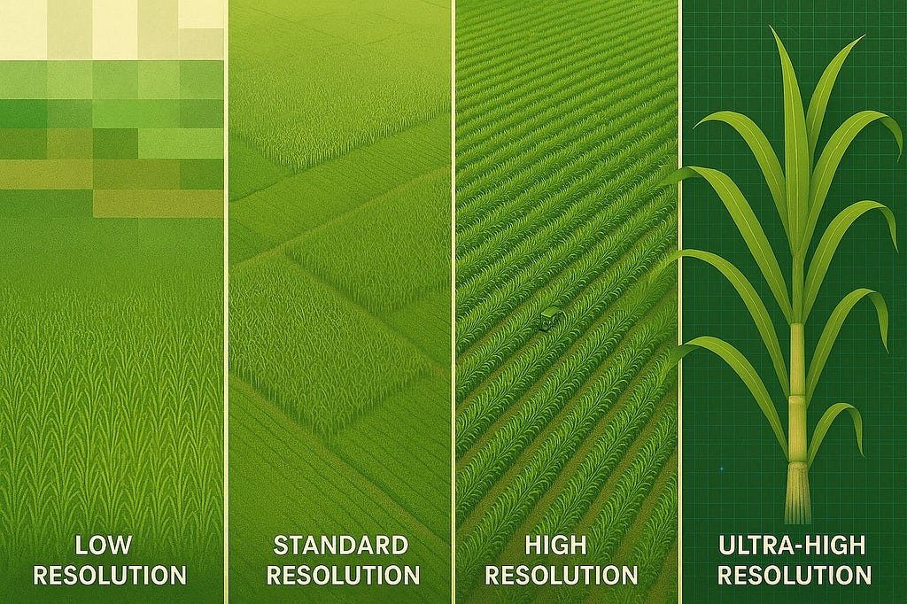
Low resolution (free satellites) → Like looking at the map from very high up. Sentinel‑2 or Landsat help you get your bearings, classify the land and get a general idea of yield.
Medium resolution (commercial satellites) → A little closer. Satellites like Maxar let you follow vigor, detect nutrient stress and size up damage. But we're still not at plant by plant.
High resolution (mapping drones) → This is where drones come in. You can see the crop rows and the texture of the canopy. With this you can map density and build yield models by zone. The fine detail is still missing, though.
Ultra-high resolution (leaf level) → This is where everything changes. With low-cost drones we get highly detailed images to analyze leaves, measure and count plants, detect stress early and apply inputs with surgical precision.
At Manglar we build on ultra-high resolution: it's the ground truth behind everything we do, our satellite models included. In the end, resolution defines the value you get from the data.